All our watershed management activities are undertaken according to the methods laid out in the Technical Manual for Watershed Management on Prince Edward Island, which was developed in 2012 for the PEI Watershed Alliance by provincial experts. Additions to the manual were created in 2022 concerning living shorelines, fish passage, and culvert replacements. As watershed managers, we use the following technologies and assessments to gather data and observations, analyze and inform watershed plans, and advocate for future efforts.
Visual “spot checks” are a valuable way of gathering data on watershed issues. While these inspections alone may not provide measurable data, they are an effective first step in identifying issues that may require further study, monitoring, or mitigation efforts. They allow for the direct observation of conditions within the watershed and have historically helped to identify:
- Erosion and/or bank instability
- Sedimentation in key streams
- Presence of invasive species
- Blockages affecting fish passage (e.g., beaver dams, debris, culverts)
- Water quality issues (e.g., algae blooms, discoloration)
- Changes in riparian vegetation or loss of buffer zones
- Evidence of pollution (e.g., garbage, runoff)
- Streamflow alterations or dry sections of the watercourse
- Smelt migration, fish population change, etc.
- Public safety issues (e.g. beaver impacted culverts, unsafe stream crossings, flooding)
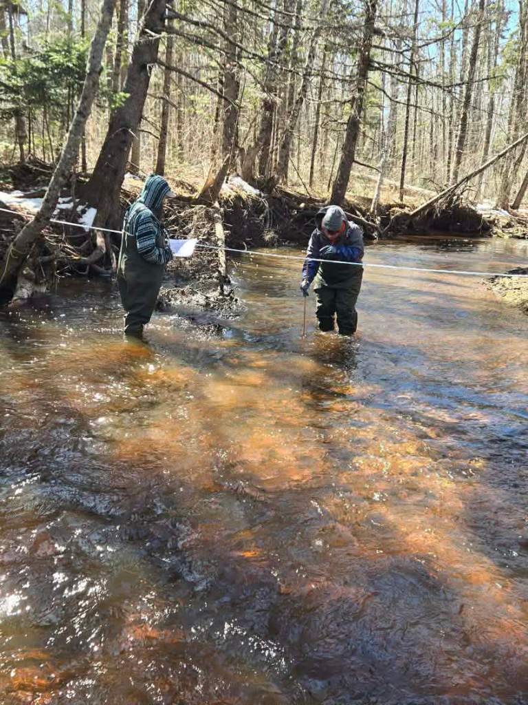
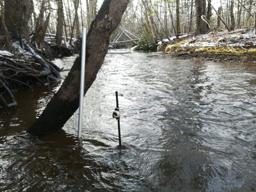
River Riparian Health Assessments (RRHA) and Stream Crossing Inventories (SCI) began in 2024/2025 and are completed every five years to monitor fish and wildlife habitat, fish passage, and public safety. Invasive species can be documented simultaneously, then reported, monitored, managed and/or removed. Rapid Geomorphic Assessments (RGA) and river cross-section profiling began in 2024, with ten monitoring sites installed on the Miminegash River to collect data on geomorphic changes to the river pre- and post-projects.
We also work with the University of PEI’s School for Climate Change and Adaptation to do coastal erosion monitoring and documenting rates of coastal land change due to the impacts of climate change.
Water temperature monitoring (HOBO temp logger), water quality analysis (lab sample) and monitoring (YSI) are used to monitor temperature changes and to identify point source pollution, changes to pH, dissolved oxygen, salinity, conductivity, turbidity, chemistry, and bacteria. There are several sites regularly monitored as reference points for comparison and other monitoring occurs as and where needed (e.g. when there are water quality concerns). Water temperature has been monitored at various locations throughout the watershed focusing specifically on cold water temperatures during winter months due to the presence of anchor ice and frazzle ice, and warm water temperatures in the summer months due to beaver impounded waterways. Data is submitted to Atlantic DataStream to be made accessible to the public.
Wildlife cameras and a monitoring database are used to monitor for river otter activity in collaboration with the provincial government, and there are many watershed groups contributing to this database since river otters re-appeared on PEI in 2016.
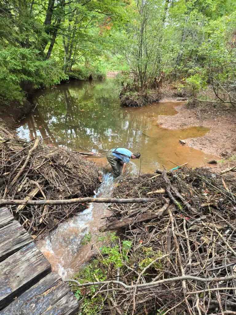
Beaver trapping and beaver dam notching are completed annually to manage fish passage, habitat, and high water temperatures. Only inactive beaver dams are notched, and beavers are trapped for fur-bearing within the licensed season.
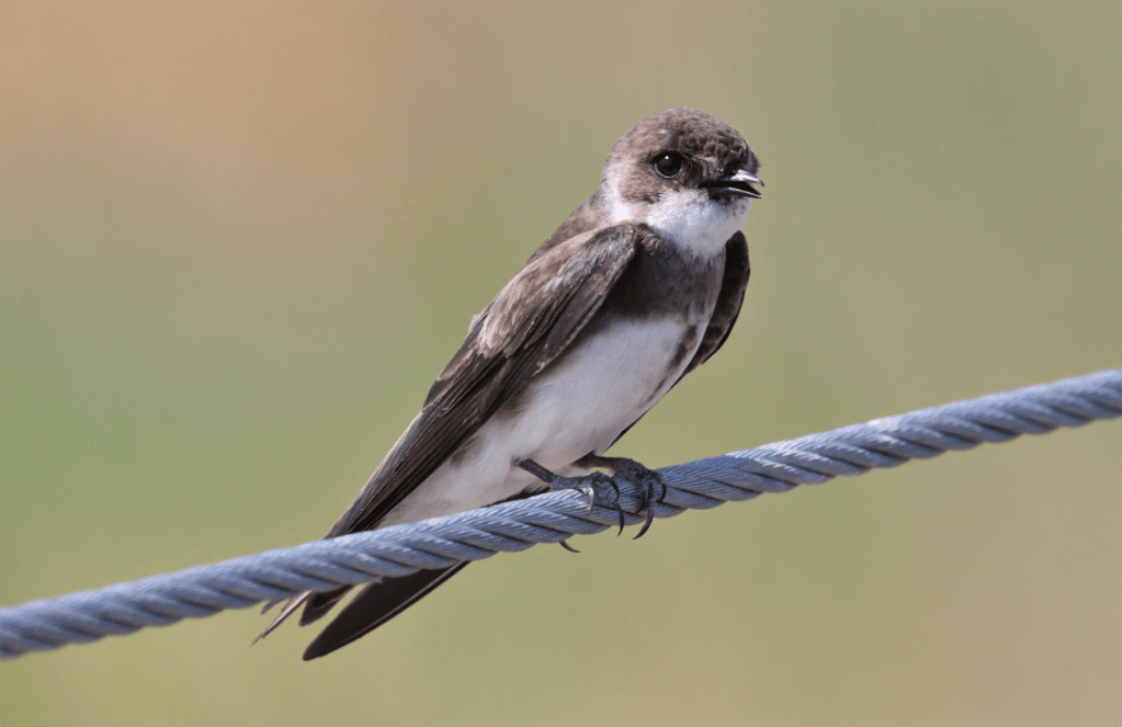
Bank swallow surveys and monitoring have occurred in collaboration with Island Nature Trust and their methods to collect data regarding species populations present within BPJ River watershed. Bank swallows are considered “threatened” within PEI under the Species at Risk Act (SARA) as of 2017.
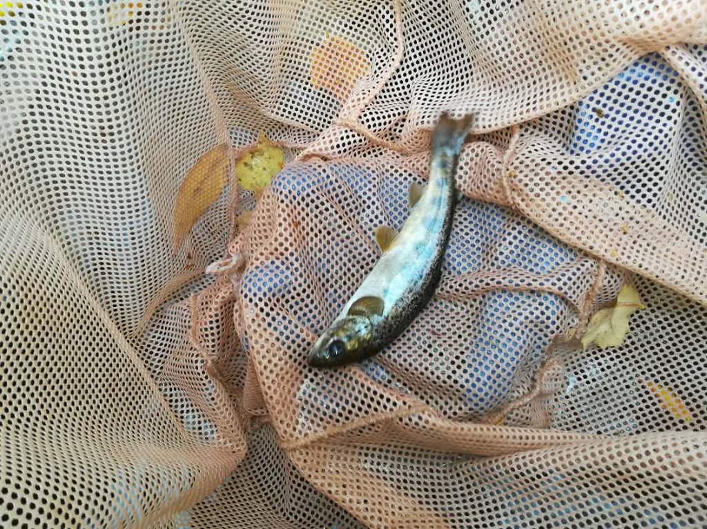
Electrofishing surveys is a type of fish population survey conducted within Miminegash River and its tributaries. Various sites are regularly surveyed by the PEI Freshwater Fish Biologist, from the Department of Environment, Energy, and Climate Action’s Forest, Fish, and Wildlife Division, to determine the density of brook trout and Atlantic salmon present via electrofishing. Electrofishing is completed according to methods determined by DFO and provincial experts, used across the island, and there are two index sites on Miminegash River.
Redd surveys began in 2023 and occur annually from November through December with the purpose of assessing the location and intensity of spawning of salmonids, as well as identifying and monitoring critical salmonid spawning habitat. Additionally, creel surveys and recreational angling reports are completed to connect with and access the community’s experiential knowledge and reports on fish populations.
